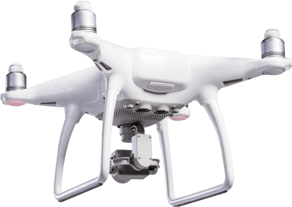
Drone Operation and Industry applications
- Home
- Services
- Drone Operation and Industry applications
Drone Operation and Industry applications
Aerial Surveying & Mapping
We use drones with high-resolution cameras and LiDAR to capture detailed maps and data. These services support construction, land development, and environmental projects by providing 3D models, topographic maps, and aerial imagery—faster and more efficiently than traditional methods.
Aricultural Drone Solutions
Our drones help farmers monitor crop health, spray fertilizers and pesticides, and analyze yield performance. With tools like multispectral imaging and automated flight paths, farmers can make better decisions, use fewer resources, and improve overall output.

Industrial Inspection & Monitoring
For sectors like energy, mining, and infrastructure, our drones offer a safe way to inspect hard-to-reach areas. We provide real-time visuals and data to assess pipelines, towers, rooftops, and more—reducing risk, saving time, and helping ensure safety and compliance.